Reisplanner
Maritime route planning that knows the infrastructure
reisplanner.app
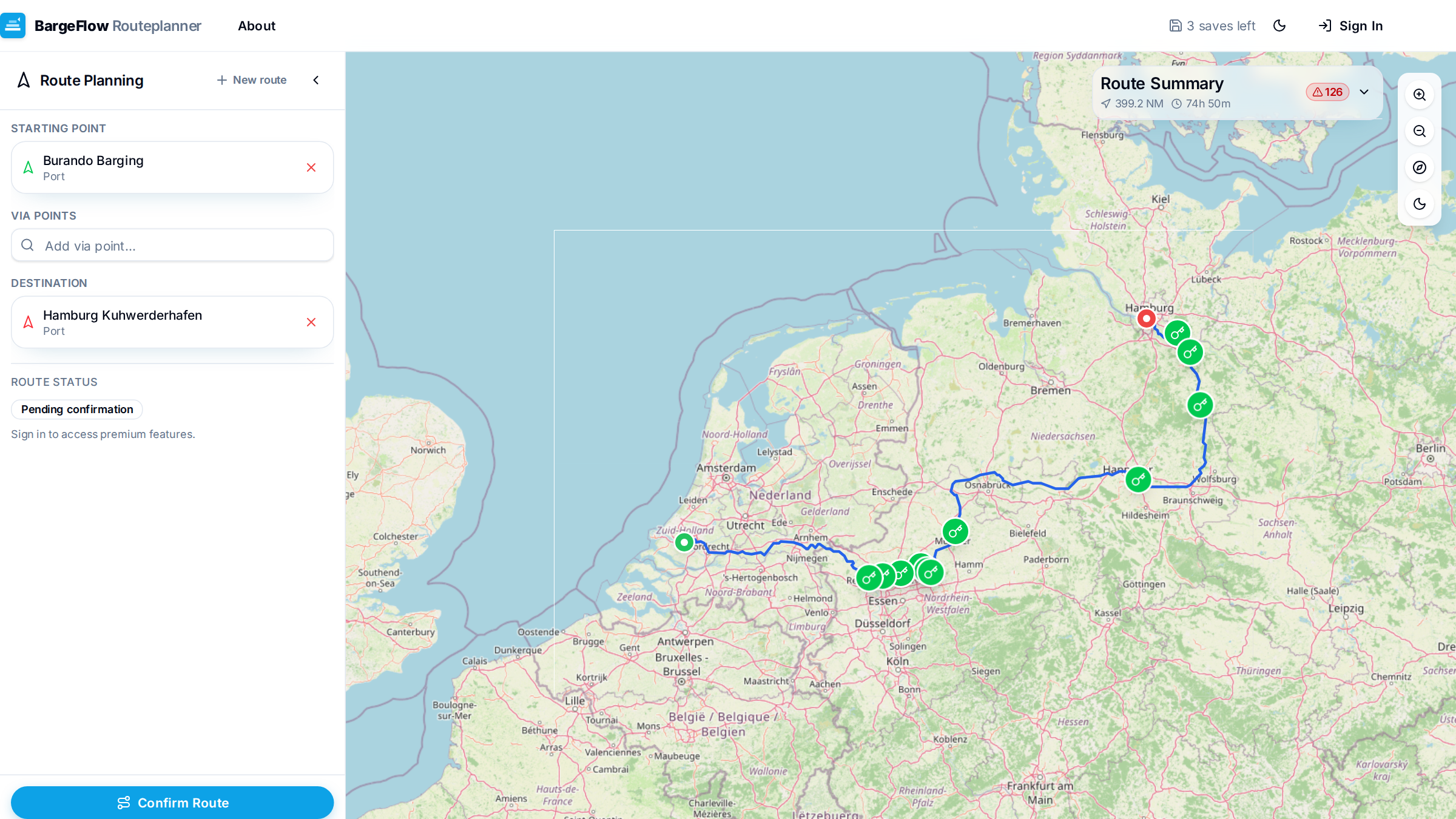
Avoid surprises along the way and plan realistic sailing times based on the actual infrastructure. Route planning for inland shipping on an interactive map, with draggable waypoints and via-points — accounting for bridges, locks and operating hours, and for your vessel's dimensions and fuel consumption.
Multiple routing strategies, options to avoid specific infrastructure, and a print-ready route description for on board. Save and recall routes and review your sailing history.
What it does
- Interactive map with draggable waypoints and via-points
- Accounts for bridges, locks and operating hours
- Tailored to your vessel's dimensions and fuel consumption
- Multiple routing strategies and avoid-infrastructure options
- Print-ready route description, saved routes and sailing history
For skippers and planners who want a route that matches the reality of the waterway network, not the shortest line on a road map.
Reisplanner
reisplanner.app